BlackburnNews.com file photo of the Erieau channel. Oct. 28, 2015 (Photo by Simon Crouch)BlackburnNews.com file photo of the Erieau channel. Oct. 28, 2015 (Photo by Simon Crouch)
Windsor

Wind Continues To Rise (Gallery)

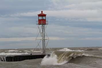
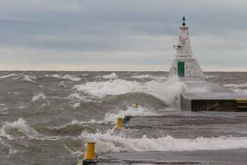
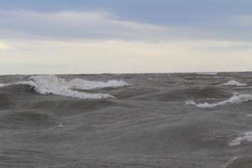
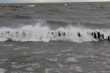
The rain from the storm that hit the area should start to taper off later today but there will be showers at least into tomorrow.

Geoff Coulson warning preparedness meteorologist with Environment Canada says the storm is huge and still extends through parts of southern Ohio and Kentucky.

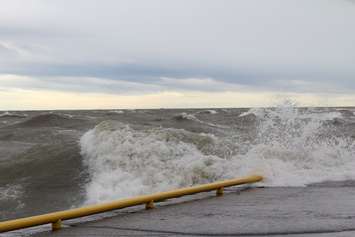
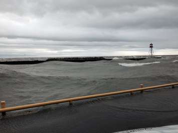
"We are seeing huge areas of rainfall showing up on the radar and then brief patches of heavier rain embedded in it," he says. "The winds expected to stay out of the south through the afternoon hours and then shift to the southwest late this afternoon and this evening and remain very gusty. When we do get that southwest wind it funnels right along the shape of Lake Erie (shoreline areas) may see occasional wind gusts as high as 90 km/h (55 mph)."

The wind is expect to last through tomorrow and then will start to taper off a little, but Friday could still be gusty.


Waves wash by signal light at the Erieau channel Oct. 28, 2015 (Photo by Simon Crouch)Waves wash by signal light at the Erieau channel Oct. 28, 2015 (Photo by Simon Crouch)

Waves wash over the Erieau Pier Oct. 28, 2015 (photo by Simon Crouch) Waves wash over the Erieau Pier Oct. 28, 2015 (photo by Simon Crouch)

Waves off Erieau, Oct. 28, 2015 (Photo by Simon Crouch)Waves off Erieau, Oct. 28, 2015 (Photo by Simon Crouch)

Waves hitting shoreline protection jetty at Erie Beach Oct. 28, 2015 (Photo by Simon Crouch)Waves hitting shoreline protection jetty at Erie Beach Oct. 28, 2015 (Photo by Simon Crouch)

Waves in the channel at Erieau Oct 28, 2015 (Photo by Simon Crouch)Waves in the channel at Erieau Oct 28, 2015 (Photo by Simon Crouch)

Read More Local Stories