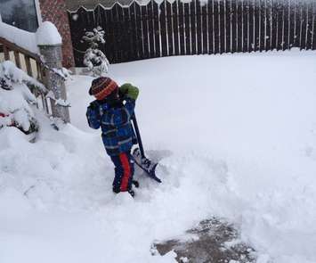
We may have a lot of shovelling and snow-blowing to do over the next few days.
Colder air is approaching Southern and Midwestern Ontario from the northwest. That's expected to trigger lake-effect snow and intermittent squalls for the next few days. It's because the surface water of Lake Huron is still relatively warm.
Exact snowfall amounts are difficult to determine, but an estimated 10-15 cm is likely by Saturday for areas to the lee of Lake Huron and southern Georgian Bay. Higher amounts are possible in areas where bands of snow remain stationary for any length of time.
Blowing snow today through Friday will reduce visibility for Midwestern Ontario drivers, and create dangerous conditions.
More snow is forecast for the weekend, and the early part of next week.
With the expectation of blustery weather, the OPP released a winter storm preparation List:
-Check propane, oil and other heating sources to ensure you have heat -Ensure you have sufficient groceries and bottled water -Check flashlights, batteries and battery powered or crank radio -Ensure you have sufficient prescription medication to outlast a storm
For more information on emergency kits, you can check online at http://www.getprepared.ca/.
Routine trips that can be postponed should be postponed in the interest of safety.
Winter road reports can be accessed by dialing 511 or you can check online at: http://www.mto.gov.on.ca/english/traveller/conditions/.
Do not call police for road and weather information.