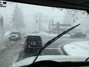
There are still no watches or warnings posted for Sarnia-Lambton but an intense storm system is expected to bring a mix of precipitation to southwestern Ontario Wednesday and Thursday. Environment Canada still has a special weather statement in effect for Sarnia-Lambton. Meteorologist Geoff Coulson says the morning commute will be impacted Wednesday. "Current indications are is we will see a mixture perhaps of snow and rain starting around the time of the morning commute, that will be about six or seven in the morning on Wednesday. That will then become a mixture of snow and ice pellets during the morning hours on Wednesday," he says.
"Then eventually late morning or perhaps in the early afternoon, that messy mix of snow and ice pellets changing over to rain" The exact track of the Texas low remains uncertain but Coulson says Sarnia-Lambton could see more than a few centimetres of snow Wednesday night into Thursday morning. The snow will continue off and on Thursday possibly adding a few more centimetres. Coulson says areas up toward Orillia and east of Georgian Bay could get up to 30 cm of snow (a foot) by the end of the day Thursday.


