A Colorado low will affect much of the province and Environment Canada says snowfall accumulations near 10 cm are likely Tuesday.
Local blowing snow is also expected as winds increase throughout the day. Snow will change to rain near noon over extreme southwestern Ontario, and late this afternoon over the Greater Toronto Area. Brief freezing rain is possible in some areas during the changeover from snow to rain.
The national weather agency is advising that there may be a significant impact to the morning commute and possibly the afternoon one as well for regions where the change to rain occurs later.
Winds will increase early this evening with widespread gusts likely to reach to 80 km/h. Stronger wind gusts of up to 90 km/h are expected in some regions near Lake Huron and Lake Erie where a wind warning is in effect.
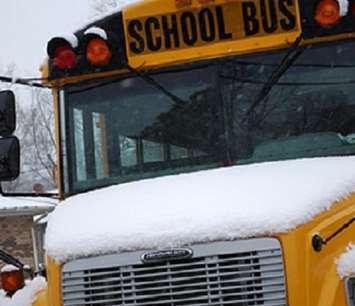
Due to the road and weather conditions, Lambton-Kent school buses in all zones have been cancelled for Tuesday. A full list of closures and cancellations is posted here.
Hwy. 40 from Chatham to Sarnia is said to be snow covered with partly snow covered with poor visibility. Hwy. 402 from Sarnia to Nauvoo Rd. is snow covered with partly snow covered and slippery sections. Poor visibility is reported in blowing and drifting snow. Hwy. 402 from Nauvoo Rd. to London is snow covered with some partly snow covered sections as well.
Motorists should adjust their driving conditions and allow themselves extra time to reach their destinations.


