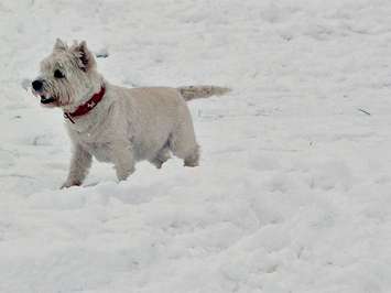
You may have been spoiled by mild temperatures over the weekend, but Southwestern Ontario is hardly done with winter.
Early Monday morning, Environment Canada sent out a weather statement calling for up to 10 cm of snow in Windsor and Chatham. That has been revised now, and the agency says those areas could get up to 15 cm before midnight.
The London and Sarnia areas can expect even more. Those areas are under a snowfall warning.
With wind gusts of up to 40 km/h, Meteorologist Geoff Coulson says that could mean drivers will also have to contend with blowing snow.
"May see a little bit in the way of blowing snow," he says. "Probably an even bigger impact in terms of wind chills, and what that temperature is going to feel like, and certainly a lot colder air than what we've had in the last couple of days."
A weaker system on Wednesday will bring more flurries or showers to the region, and Coulson says February is shaping up to be colder and snowier than usual.
"Colder than normal conditions, also could be fairly active storm track for the Windsor, Chatham and London areas as well," says Coulson. "Unfortunately it still looks like spring is still a ways away."
With Groundhog Day on Friday, Coulson predicts Wiarton Willie will see his shadow, and climb back into his burrow for another six weeks of winter.